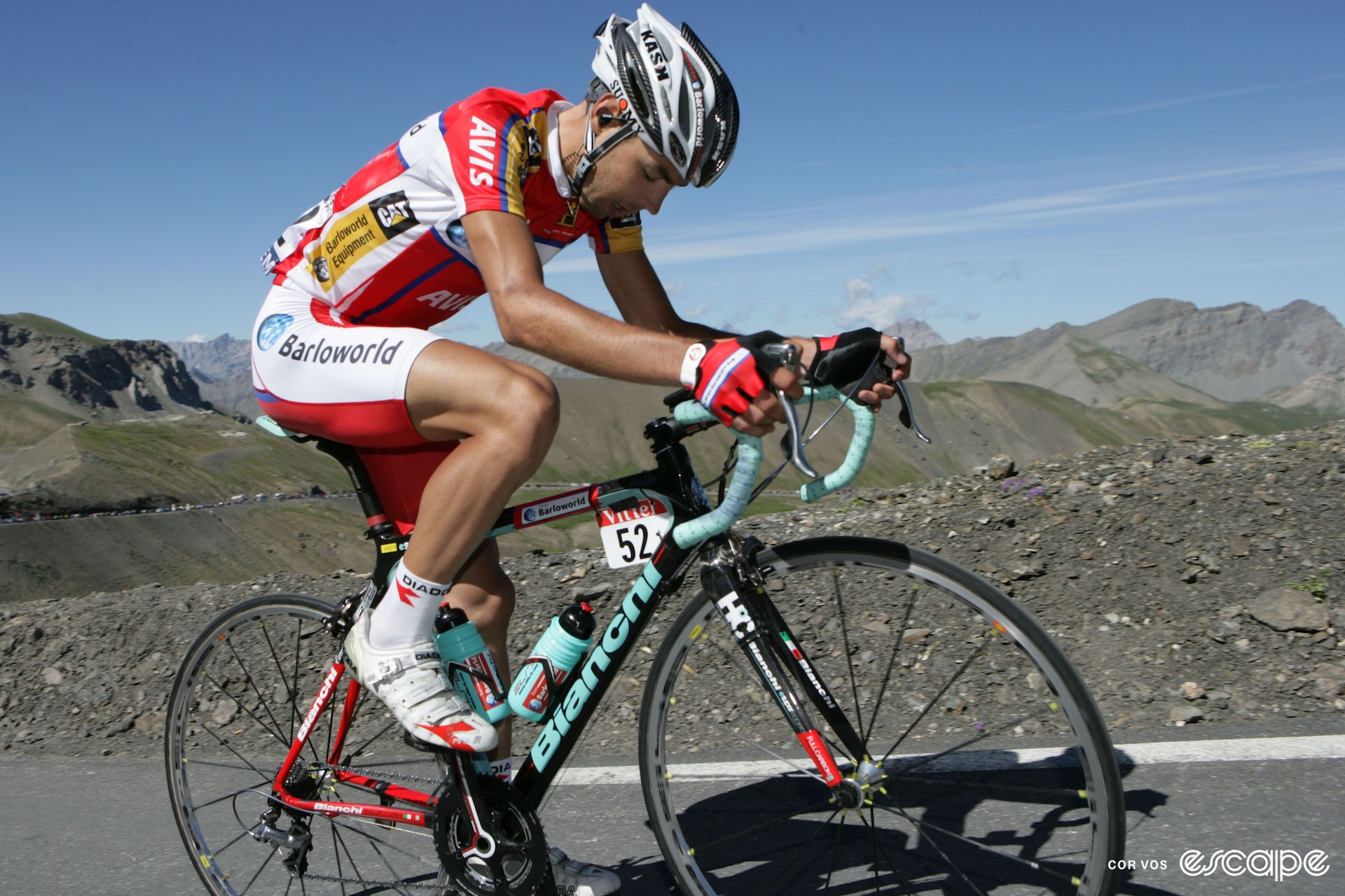

Today’s question is: how do we know how high high is? Stage 19 has special meaning because it crosses the highest point of this year's race. It’s called the Cime de la Bonette, not the Col de la Bonette? Yes, the Cime is a road around the peak of the Col de la Bonette which goes even higher than the main pass.
Although it claims to be the highest route in Europe, the Cime de la Bonette is in fact surpassed by more than 30 gravel or dirt routes over passes on the continent. In Turkey, Spain, and Austria we find even higher asphalted routes: the Pico del Veleta (3,369 m) and the Ötztal glacier route (2,830 m). At 2,802 m, however, the Cime de la Bonette is the highest route ever climbed by a Grand Tour. Legends like Federico Bahamontes twice in the 1960s and Robert Millar in 1993 were the first at the top. The last time we visited this mountain was in 2008 when South African John-Lee Augustyn was the first up the mountain. On the descent he had that spectacular crash. Maybe you remember? Luckily he managed to finish the stage.
The Tour de France lists the elevation of Cime de la Bonette as 2,802 meters, as does the plaque at the top. Yet Strava segments ending at the top have maximum elevations ranging from 2,750 to 2,802 meters. How does that work? Courtesy of Michael Bunds at GeoTDF (where I also do some work), let’s find out how bike computers measure this and why your device might be off, making you miss valuable meters of elevation on Strava and therefore wowing your friends less than you should have …
Two of the most common methods for measuring elevation are GNSS and barometric altimetry. GNSS (Global navigation satellite system) refers to GPS, run by the USA, as well as the systems operated by the EU called Galileo. The Russians and some other countries also have their own systems. Smartphones and bike computers use GNSS to determine elevations and location. GNSS systems have sets of satellites that transmit signals.
Standard GNSS devices use signals from four or more satellites to trilaterate their position usually to 1 to 10 meters of accuracy. Heights relative to the center of the Earth are readily calculated because the satellites orbit the Earth’s center of mass.
More sophisticated systems use differential GNSS to get accuracies down to a few millimeters. These high-accuracy instruments are now approaching the size of a postage stamp, so perhaps we’ll soon have them in our bike computers and we can all make super-accurate measurements of the Cime de la Bonette.
Many bike computers and sport watches also have a barometric altimeter to measure elevation. They work by measuring air pressure and converting that to an altitude. This is possible because air pressure decreases dramatically with altitude. These devices can detect an elevation change of just a meter or two.
To calculate altitude from the pressure they use a generic set of values for air pressure from sea level to high altitude called a standard atmosphere. On top of the Bonette, air pressure will be low so riders and spectators might be gasping for breath after a 22.9 km climb.
The problem with barometric altimetry is that the atmosphere often differs a bit from the standard atmosphere. This can lead to elevations being off by over 100 meters, so altimeters are very precise yet inaccurate. Some devices combine GNSS and altimeter measurements to reduce this problem. Strava has an additional tool to improve accuracy: for workouts recorded on devices without barometric altimetry, Strava's algorithm does an "elevation correction" that cross-references the GPS data in the workout file to a database of barometric data.
But even with that, it's still not perfect, as Strava admits. And it doesn't correct for errors in device data that does log barometric altimetry, so there are still sometimes the small errors in segment elevations in Strava mentioned at the top of this story. I am sorry if you did more meters of elevation than your computer indicated. It’s the pressure that got to it.
Did we do a good job with this story?